
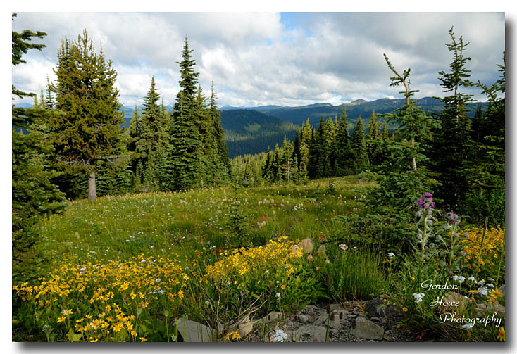
There is a viewpoint about halfway up to the sub-alpine area. Here is a view to the east.

I shot a 7 shot panorama and stitched it in Photoshop. Be sure to click on the picture to open up a larger version. Below the pano is a shot of the information sign pointing at the mountains with their names. Most of the peaks you see here are in the USA.


Later that day we hiked the Canyon trail which goes from the Gibson Pass road to Coldstream campground and back along both sides of the Similkameen River. The headwaters of the Similkameen is in Manning Park and as you can see it is not very large at this point. By the time it gets to Keremeos and points east it is a major source of irrigation water for tree fruits and grape vines.

After saying farewell to Manning we headed home. Once on the ferry we were treated to a large pod of Orcas feeding on Salmon right in front of the dock. I was disappointed that the ferries left the dock right into the middle of the pod. One whale swam right up to the ferry and gave us the stink-eye so I guess they were not too impressed either!

No comments:
Post a Comment